Geospatial Walkability Analytics
In ProgressAnalyzes pedestrian infrastructure networks to score urban walkability.
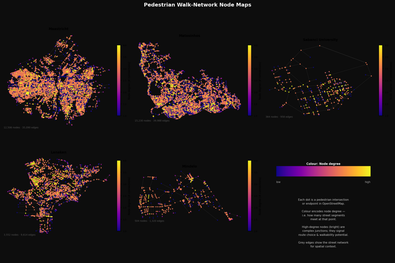
A network-analysis project that models pedestrian nodes across a city to evaluate and compare walkability. Phase 1 is an ETL pipeline — extracting street networks from OpenStreetMap via OSMnx, transforming them with elevation and terrain-grade enrichment from the Open-Elevation API, and loading the result into per-city cached GraphML/GeoPackage/CSV outputs — complete across five study cities (Maastricht, Matosinhos, Sabancı University in Istanbul, Lanaken, and Mindelo), covering roughly 32,000 pedestrian nodes, 87,000 edges, and 5,150 km of mapped network. One real data-quality validation catch along the way: the original pedestrian-edge filter treated an explicit sidewalk=no OpenStreetMap tag as evidence a sidewalk exists, because it checked tag presence rather than value — found and fixed during implementation.